Belmullet & Erris, North Mayo: Ireland’s Wild Atlantic Edge
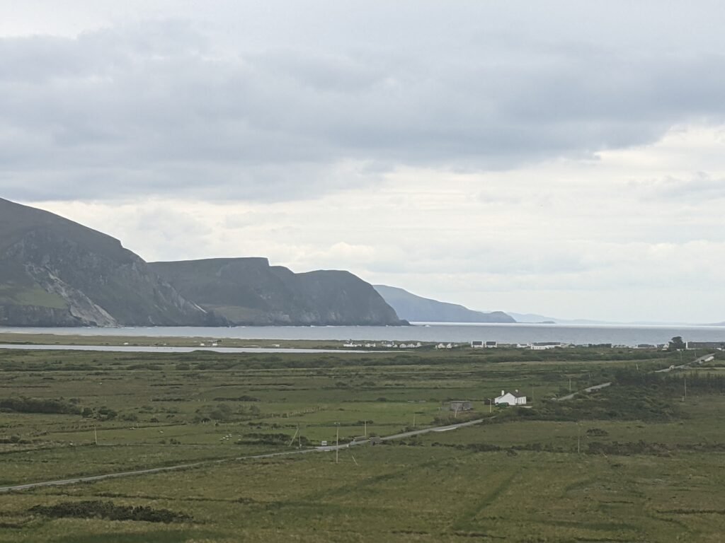
We recently had an interesting visit to North Mayo, with our destination being Belmullet and Erris. The scenery here is extraordinary and the area is so far away from Ireland’s east coast that not too many people make the journey. In terms of remoteness and wildness, Erris reminded us of Donegal. It is a part of Ireland where the landscape is still a major part of the experience. Erris is also a Gaeltacht area, although we were told locally that some parts of the peninsula are not fully Irish-speaking. The area is relatively underdeveloped and laid-back, but that remoteness comes with a price: it can be difficult to get to. From Waterford, we would allow around five hours by car, travelling via Tuam, the motorway from Limerick, Knock and Ballina before continuing for another 30 kilometres or so towards Belmullet. But once you arrive, you understand why the journey is worthwhile. There is a sense that Erris has developed its own identity because of its isolation. The area’s remoteness helped preserve the Irish language and meant that, historically, it was not considered to be of great strategic importance. Yet that same remoteness has also produced some extraordinary stories. Getting There For us, the most practical way to reach Belmullet and Erris was by car. From Waterford, the journey takes approximately five hours, depending on traffic and stops. The route takes you towards Tuam and across the west of Ireland before continuing through the Knock and Ballina areas and then onwards towards Belmullet. It is a long journey from the southeast, but the roads have improved considerably over the years. For anyone travelling from elsewhere in Ireland, Ballina provides an important gateway to North Mayo. Once you reach Erris, having a car is particularly useful because many of the attractions are spread across a large peninsula. The distances can be deceptive. You can drive for quite some time while feeling that you are travelling through an almost completely empty landscape. That is part of the attraction. Exploring the Destination Erris is one of those places where the landscape itself becomes the main attraction. The Atlantic is never far away, and there are beaches, cliffs, sea stacks, blow holes and dramatic coastal views throughout the peninsula. At times, you can almost feel as if you are on an island. The comparison with Achill Island is understandable, although Erris is not actually an island. There is even a sense of local rivalry between different parts of Mayo, just as you can encounter on Achill. The peninsula is remarkably long and has an abundance of beaches and coastal scenery. The Atlantic can be rough here, producing enormous swells. We even saw local students from the Uisce Irish school swimming and surfing near the pier, a reminder that people living here are very much accustomed to the power of the sea. Black Sod Lighthouse One of the most fascinating places to visit is Black Sod Lighthouse. The lighthouse looks towards Achill Island in one direction and out across the enormous Atlantic in the other. But its importance goes far beyond its spectacular location. During the Second World War, weather information from this remote part of Mayo became extremely important. The weather reports helped the Allies understand the developing Atlantic weather systems before D-Day. We met Fergus Sweeney, whose grandmother, Maureen Sweeney, worked at the lighthouse and became associated with one of the most remarkable stories in the history of the D-Day landings. Fergus is an excellent guide and a former cameraman with RTÉ News. He now focuses on running a community and visitor centre in Erris, not far from Belmullet and Black Sod. Visitors can learn about the equipment once used for measuring wind and atmospheric pressure, including the observations that helped track changing weather conditions across the Atlantic. The D-Day Weather Story The weather around Ireland’s Atlantic coast can change rapidly. During the tense preparations for D-Day in 1944, weather information from Ireland was monitored closely by the Allies. The observations from Black Sod helped identify an approaching period of severe Atlantic weather. The resulting information contributed to the decision to postpone the Normandy landings by one day. The invasion eventually took place on 6 June 1944. Had the Allies proceeded in the earlier weather conditions, the rough seas and poor weather could have created an even more dangerous situation for the invasion fleet.Fergus explained to us that there was also secret cooperation between Ireland and the United Kingdom over weather information. Because Ireland was officially neutral during the war, the arrangements had to be handled carefully, and the information was subject to considerable checking. It is an extraordinary story to find in such a remote corner of Ireland. History & Culture Pirates, Smugglers and Poteen At the Solas Visitor Centre, we learned about the fascinating history of the Erris coastline. Centuries ago, local people sometimes raided or harassed passing ships in an attempt to obtain goods. The communities were poor, and ships passing offshore represented an opportunity to acquire some of the goods being traded. The British authorities found it difficult to control such activities. There was no coastguard or naval presence operating in the area in those earlier centuries, while the isolated coastline provided plenty of opportunities for people to avoid official attention. In later centuries, poteen-making became another illegal activity. Again, the area’s isolation made enforcement difficult. Illegal fishing was another issue during parts of the 1800s and later decades. Today, however, the decline in fish stocks has changed the nature of the fishing industry considerably. The Inishkea Islands Erris has its own offshore islands, most famously Inishkea. The islands were once inhabited but were eventually abandoned. Fishing tragedies in the 1920s contributed to growing concerns about the safety and health of the island communities. The government encouraged people to move to the mainland. The history of Inishkea adds another layer to the feeling that Erris is a place apart. There are many intriguing local stories and legends, and local